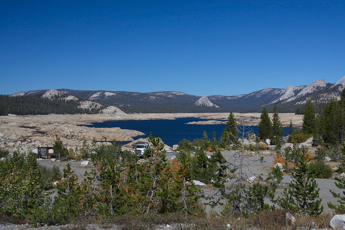
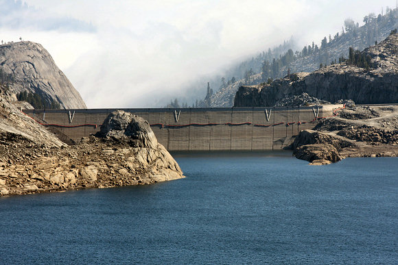
| A view from the South end of the reservoir in early October 2008. The reservoir is approximately half full. The granite dome on the left (western) side of the lake offers an incredible vantage point for photographing the lake. Photo Location: N 37° 4'32.24" W118°58'28.83" Date: 10/5/2008 |
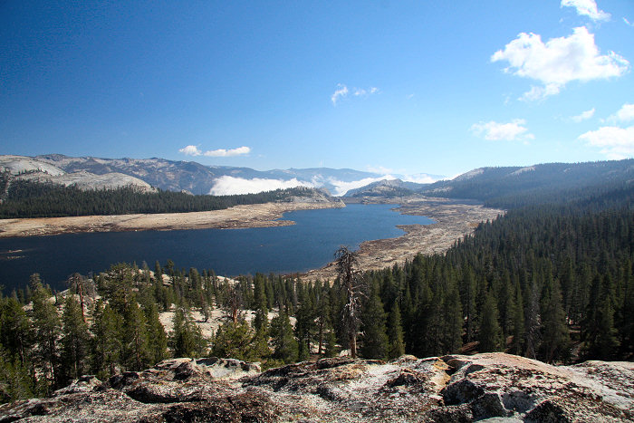
Courtright Reservoir as seen from a high vantage point about 3/4 of the way up a granite dome.
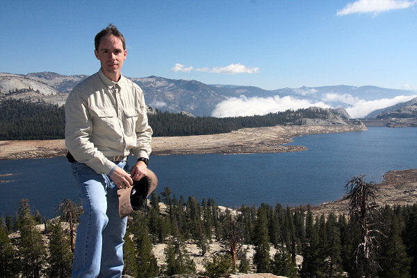
| I took my tripod along so that I could take serial overlapping photos of the reservoir which I would later stitch together to form panoramic images. It also allowed me to set the camera's self-timer so that I could get a shot of myself with the lake in the background. This particular spot on the granite dome had some deep "pot-holes" that were filled with rain water. I was anything but graceful as I stumbled around trying to get in front of the camera before the shutter released. In the background, by the dam, you can see a cloud bank moving in. As the day progressed, the clouds engulfed the reservoir in a blanket of fog. Location: N37 06.320 W118 58.965 Date: 10/5/2008 |
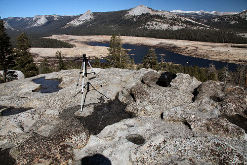
Camera tripod and pot holes.
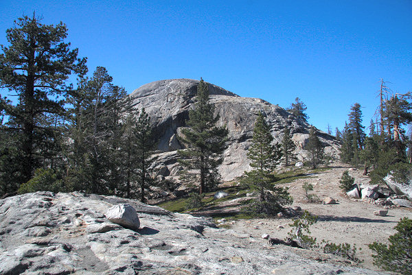
| Here you can see the top of the granite dome. I didn't make it all of the way to the top of the dome because I was alone, had too much camera gear with me, and was running out of time. Someday I'll return with a friend and go all of the way up. I did, however, climb to a shelf (N37 06.357 W118 59.036) just below the peak. You can see it in this photo to the right of the peak. From there I had a commanding view of the reservoir. |
Courtright Reservoir Dam
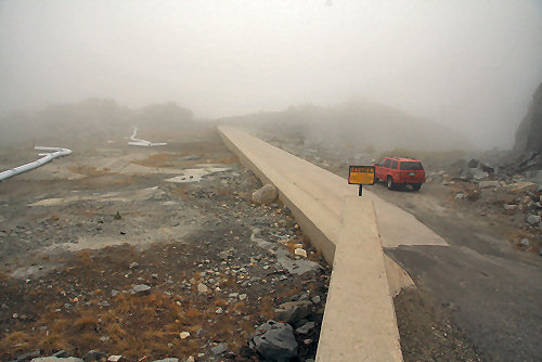
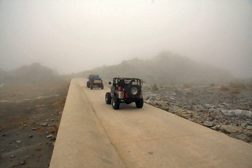
A short drive across the spillway takes you to the dam.
Photo Location: N 37° 4'39.75" W 118°58'21.14" Date: 10/5/2008
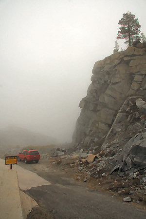
| The only way to get to the east side of the lake is to drive across the dam. Once on the other side you can find the Courtright Intrusive Zone Geological Area, an 11 acre site where you can observe nearly each stage of developement of the Sierra Nevada through geologic evidence. The road ends a half mile beyond the dam. There you can find the southern terminus of the Dusy-Ershim OHV Route. |
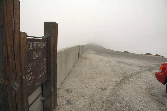
| The driveway across the top of the dam is a narrow single lane road with a precipitous drop to the south. The clouds obscured the view so I couldn't capture it well in a photo. |

| The view looking south into the gorge from the dam. Photo date: 7/30/2009. Visit the Panoramio.com page at http://www.panoramio.com/photo/27215581 More of my photos can be found at: http://www.panoramio.com/user/3629128/tags/Courtright%20Reservoir |
Go To Page 2 for more Photos