| Tokopah
Falls on the Marble Fork of the Kaweah is one of the tallest falls in
California dropping almost 1200 feet. It doesn't drop straight down
like some of the hanging valley falls in Yosemite, but rather is more
like a very long cascade that steeply flows down a slope. The trail
sign says it is 1.7 miles from trail head to waterfall base, but my map
and GPSr indicate it is closer to 2 miles with an approximate 600 foot
gain in elevation. Overall it is an easy day hike that travels up a
glacially carved narrow canyon, passing through pine forest and talus
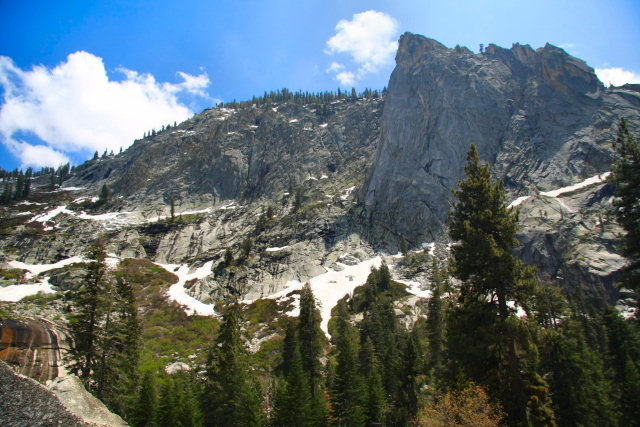
slope while following the river. A prominate geological feature visible
during most of the hike is a granite spire called the Watchtower which
rises 1600 feet above the canyon floor. Location: Near the Lodgepole visitor center in Sequoia National Park Waterfall Coordinates: N36 36.685 W118 41.676 Altitude at waterfall base: 7291 feet Google Maps - Tokopah Falls Links: Waterfallswest.com - Tokopah |
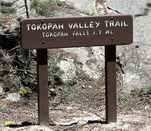
Trailhead sign
(I think the distance is more like 2 miles)
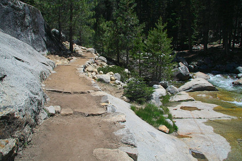
The trail near the trail head is well maintained. It is a fun day hike and
I have seen many families with young children on this trail.
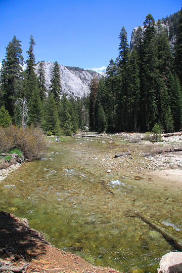
The Marble Fork of the Kaweah River (looking east toward the falls).
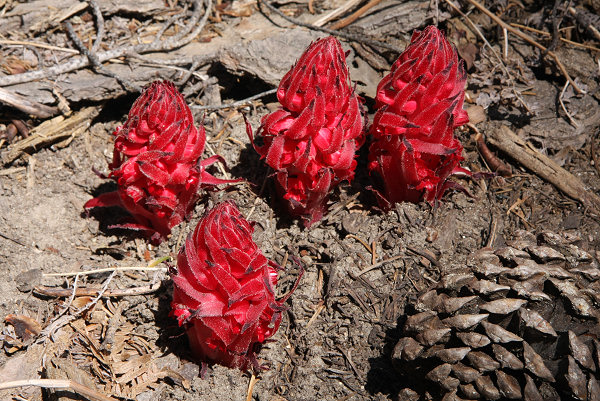
| I found a small cluster of snow plants along the trail. The snow plant (Sarcodes sanguinea) is one of the truly spectacular wild flowers of the Sierra Nevada. It resembles a thick, fleshy, brilliant red asparagus pushing out of the pine needles layer on the forest floor. The snow plant lacks chlorophyll and is nonphotosynthetic and is related to the heaths (blueberries, cranberries, rhododendrons). It has a symbiotic relationship with the fungi that live on the dense litter of dead leaves in damp forests floors. The plant’s roots contain fungi which feed water and nutrients to it. These fungi also extend into the roots of pines and other conifers. Using radioactive carbon, one study showed that the sugars from the conifer roots enter the fungi and then are transferred into the roots of the snow plant. |
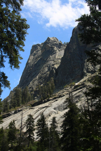
The west side of the Watchtower
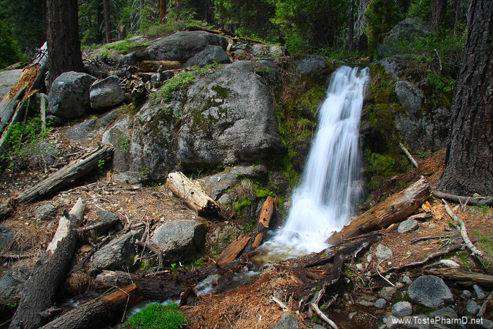
The trail crosses Horse Creek near a small waterfall. This was a very
beautiful spot to pause before continuing on to Tokopah Falls.
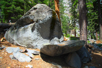
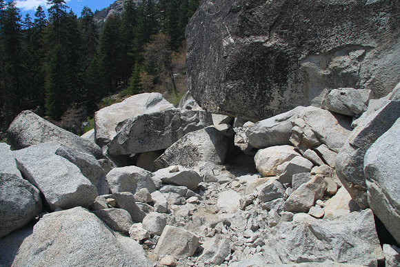
| The granite rock of the Sierras is constantly being attacked by the elements. Here is an example of weathering that has split off a section of rock from the larger boulder. Water collected in a small crack and expanded when it froze increasing the size of the crack. This repeated over countless winters until the slab to the right of the boulder fell away. |
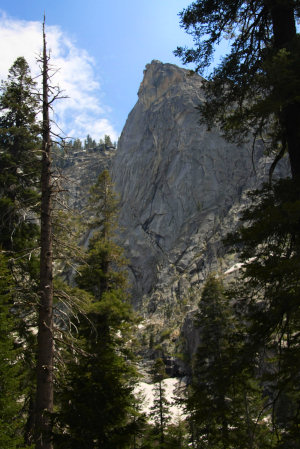
The Watchtower
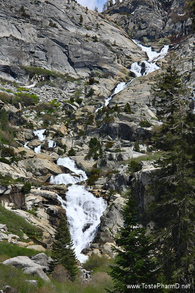
The
Marble Fork of the Kaweah River flowing down Tokopah Falls
In May 2009, there were still spots of snow on the north face of the canyon wall.
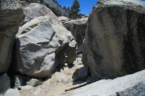
As the trail approaches the waterfall it passes through a talus slope filled with
large and small granite boulders that have fallen from the canyon walls.
Here the trail passes under a large boulder.
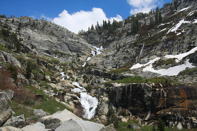
Tokopah Falls cascading down its slope.
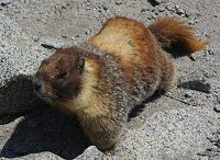

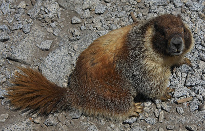
A marmot greeted me when I arrived at the base of the falls.
He was pestering me for food but I didn't feed him.
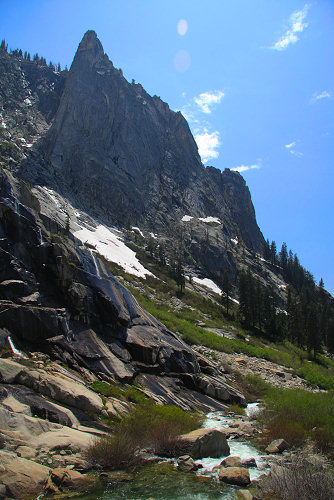
The Watchtower as seen from the base
of Tokopah Falls looking westward.

The base of Tokopah Falls (May 2009)
Coordinates: N36 36.685 W118 41.676 Elevation: 7291 feet