| North
of Mist Falls and further up the canyon, lies the
appropriately named Paradise Valley. It is a fairly level portion
of Kings Canyon where the river flows more slowly and
meanders. The valley is divided into three sections: Lower, Middle and
Upper. Camping is allowed in only one place in each of these sections. Location: Near Cedar Grove & Roads End in Kings Canyon National Park Google Maps - Roads End & Paradise Valley Related Pages: Mist Falls Trail 360 Panoramic Photos My June 2010 Paradise Valley Backpacking Trip |
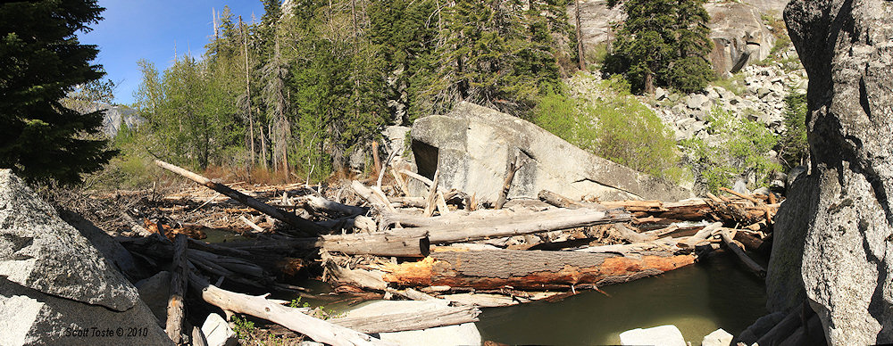
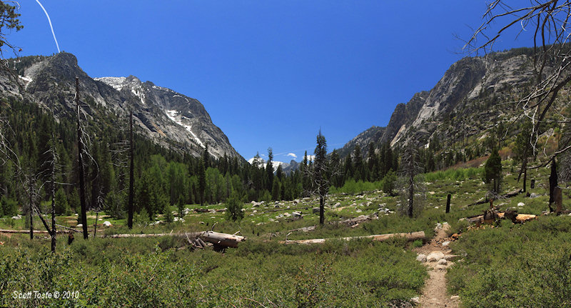
| At the very beginning of Lower Paradise Valley the Kings River flows through a narrow but relatively flat channel. This short section of river has massive talus boulders sitting in it that create a perfect trap for floating debris. A large natural log jam has formed here which marks your arrival at Lower Paradise Valley. |
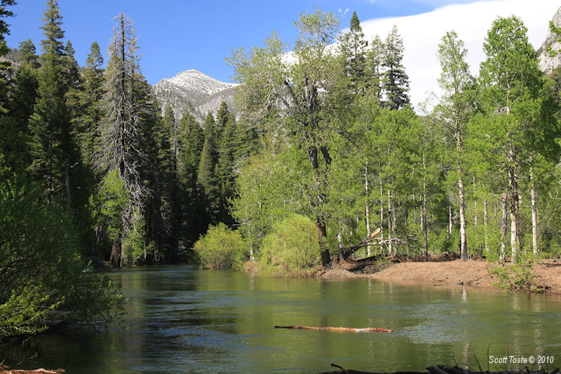
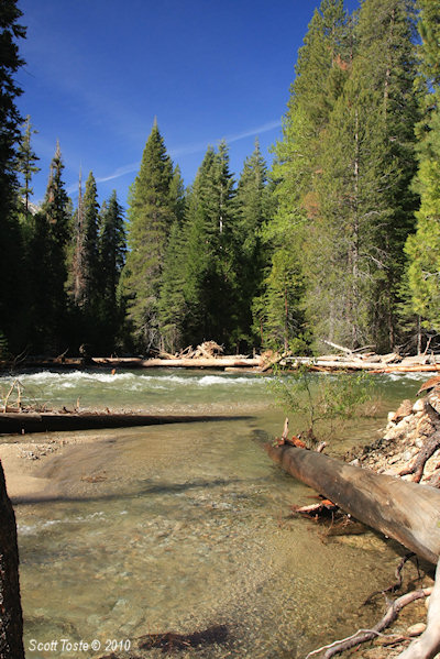
| Just beyond the log jam the canyon widens into a flat bottomed valley and the Kings River slows and meanders, its banks lined with aspen and alder trees. Gone is the constant roar of the crashing water found in the river further down canyon. It is a tranquil place to visit. |
Middle Paradise Valley
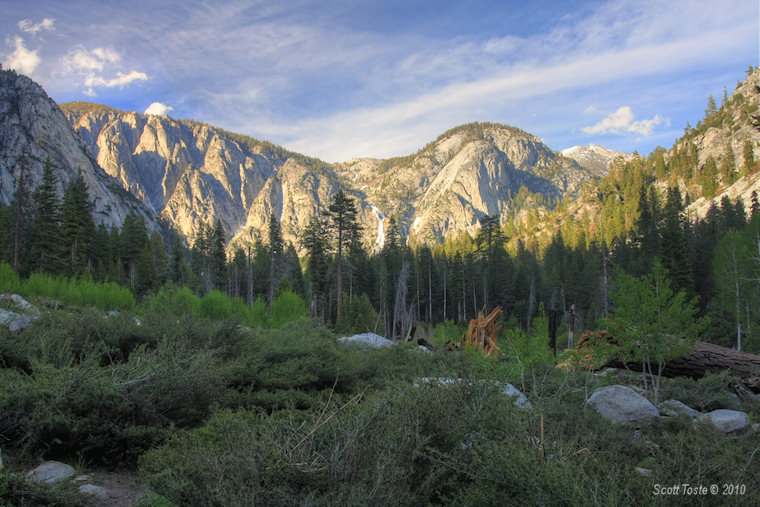
| An interesting part of Middle Paradise Valley is a clearing in the forest that has a great view of the falls at Arrow Creek. The clearing may have been made by fire and/or avalanche and is filled with low shrub. Pines and cedars lined the outer perimeter. Just inside of that is a zone of aspen with bright green leaves that quake in the breeze. In this photo the valley was getting deep in shadow as the day approached evening and the light green of the aspen groves stood out against the darker green of the surrounding forest. |

In Upper Paradise, you can see the falls of Arrow Creek cascading down the canyon wall.
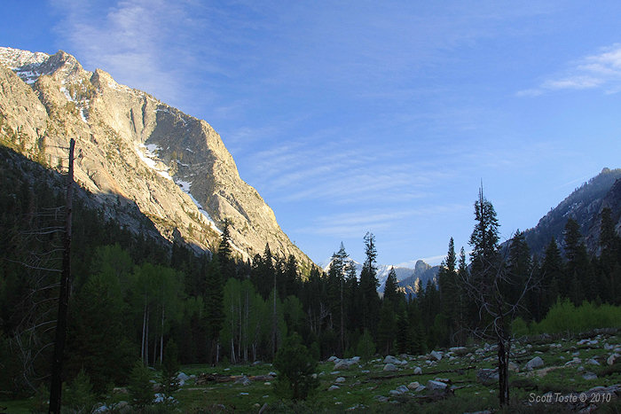
Looking south from Middle Paradise Valley in the evening.
Middle Paradise Valley during mid-day.
Upper Paradise Valley.
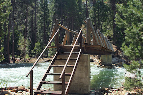
The bridge crossing the Kings River at Upper Paradise Valley.
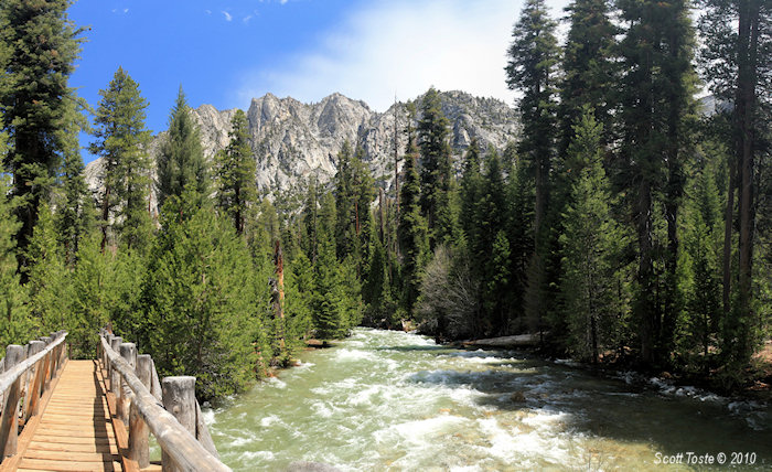
The view northward from the bridge at Upper Paradise Valley.